Inés Leyba - Training in observing the Earth's surface using satellite imagery in a hybrid environment: resources and challenges
In recent years, the rapid and sustained progress in remote sensing observations has led to a significant increase in the utilization of satellite images and products across a wide range of meteorological and oceanographic applications. The observation of surface characteristics through meteorological satellites currently serves numerous essential purposes, both from an academic and operational point of view. These applications include activities such as initializing and validating numerical models, conducting climatological studies on land use or ocean temperature changes, and operational monitoring of droughts, damages caused by severe weather events, wildfires, and even drifting iceberg movements.
In this context, we propose the creation of an educational module as a part of a two-month program offered by the Departamento de Ciencia de la Atmósfera y los Oceános - Universidad de Buenos Aires. This module aims to provide fundamental knowledge for comprehending the operational principles and applications of meteorological satellites. Specifically, the proposed module focuses on the practical and laboratory aspect of this subject. Its primary objective is to provide students with the skills to comprehend, interpret, and utilize satellite observations of the Earth's surface. This involves training in the manipulation of satellite data, including familiarization with available databases, data inspection, and visualization techniques.
Moreover, the module seeks to encourage critical analysis of observations and products derived from remote sensors. Students are encouraged to develop an awareness of the limitations and advantages inherent in these observations, enabling them to engage in a critical utilization of the generated products.
In summary, this educational module will contribute to the development of key competencies in students, empowering them to apply satellite observations in the fields of meteorology and oceanography, while also fostering a deep and critical understanding of the capabilities and limitations of these technologies.
Co-author: Maite Cancelada
Students’ objectives:
- To be able to identify the processes involved in the visible and infrared spectrum to detect different features of the Earth's surface.
- To become familiar with satellite imagery generation and analysis tools, in particular with data generated by the ABI radiometers (visible and infrared) on board the GOES-16 geostationary satellite.
Materials:
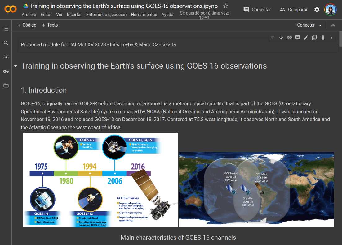
The student will be provided with a Jupyter Notebook (Python) running on the Google Colaboratory platform that will allow him/her to easily generate images of the different bands (wavelengths) of the sensor and to numerically analyze the images using scatter plots, histograms, and generation of regions of interest for a more detailed study of the spectral response of the different surfaces.
Acess to content
Link to explanation of the module: Presentation
Link to material: material
Link to Exercise: Exercise guide